Land Initiative
Get Started
- About us
- Admin. Boundaries
- Base Maps
- Cadastral
- Digital Elevation Models
- Digital Imagery
- Environment
- Forest Inventory
- Geographical Names
- Geology Mapping
- Hydrography
- Land Use/Cover Maps
- Municipal Maps
- Quarter Section Grids
- Soil Classification
- Spatial Referencing
- Topographic Maps
- Town & Village Plans
- Transportation
- Comments
Related Sites
Canada Map Sales

Stay Connected
to the Manitoba Government
To view PDF files, you must have a copy of the Adobe Acrobat Reader which is available as a free download:
![]()
Manitoba Land Initiative
Core Maps - Data Warehouse
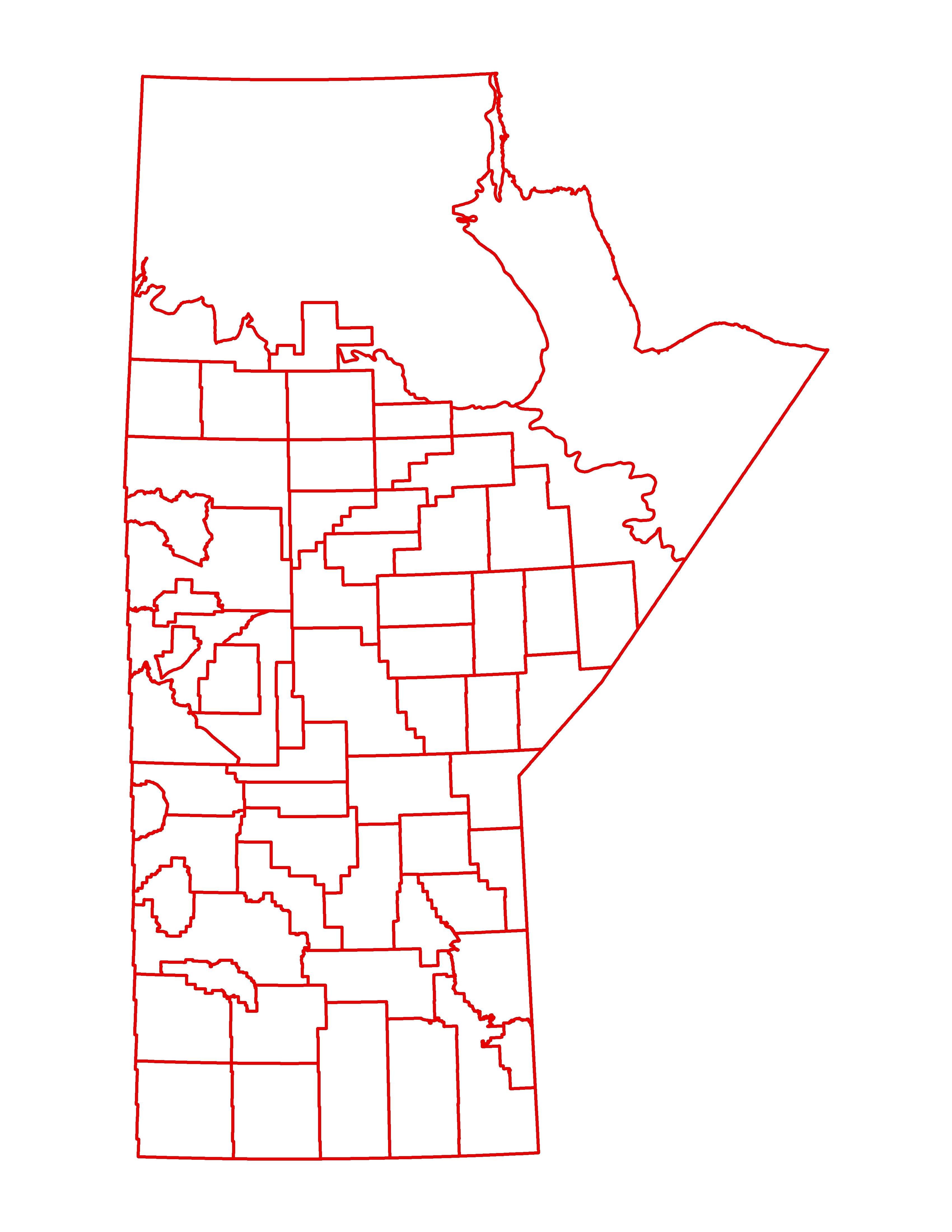
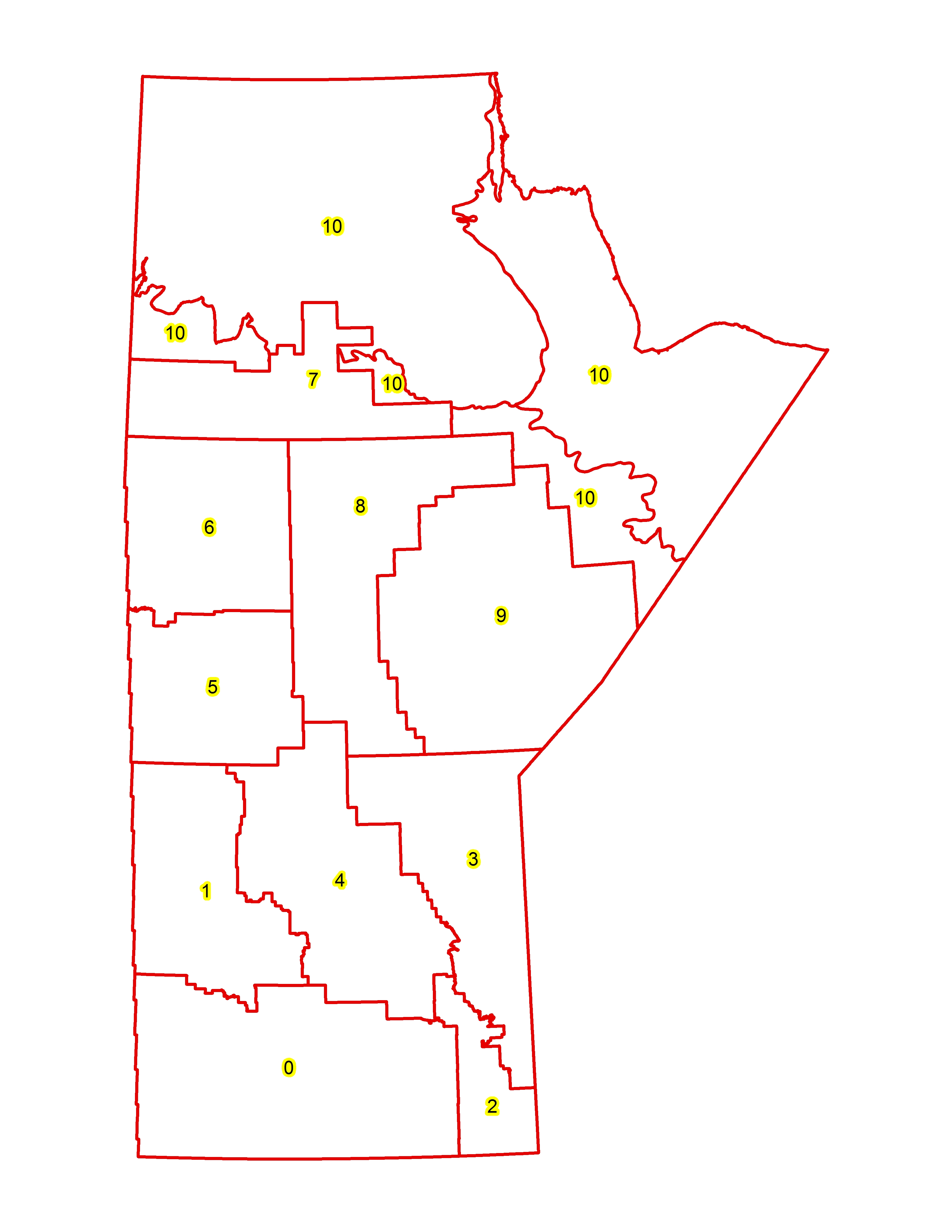
Administrative Boundaries
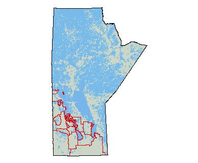
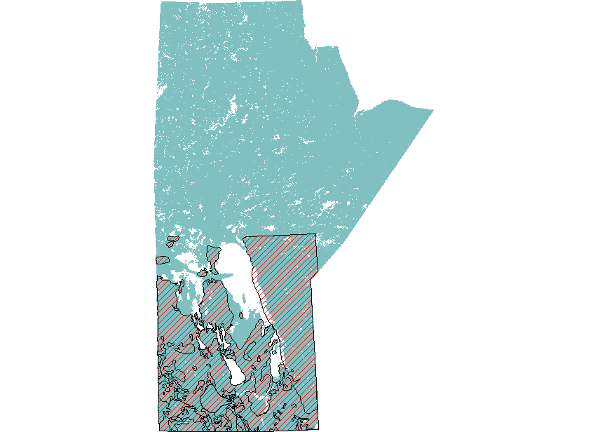
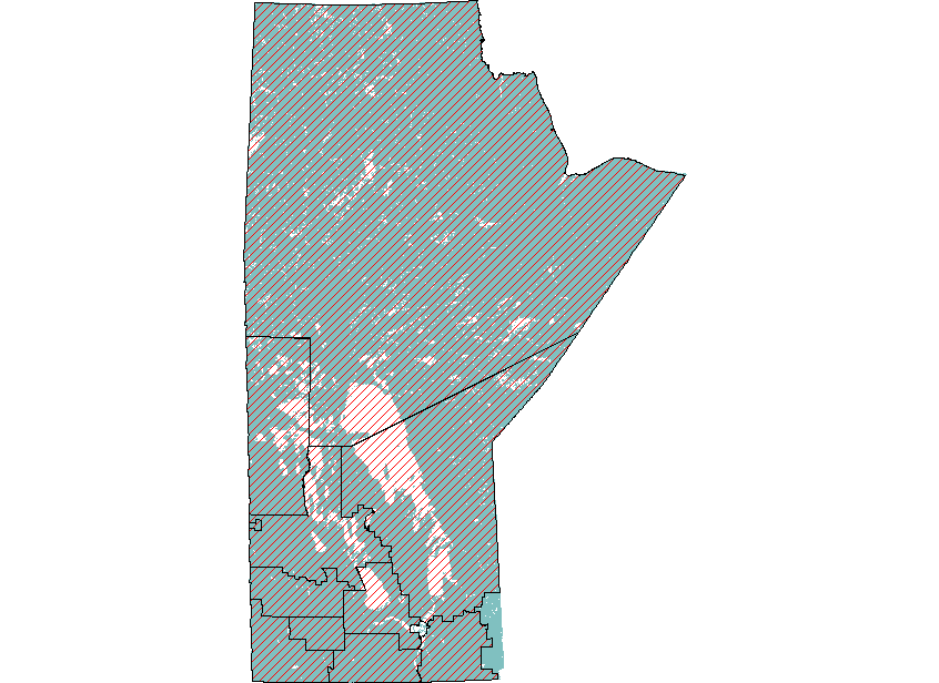
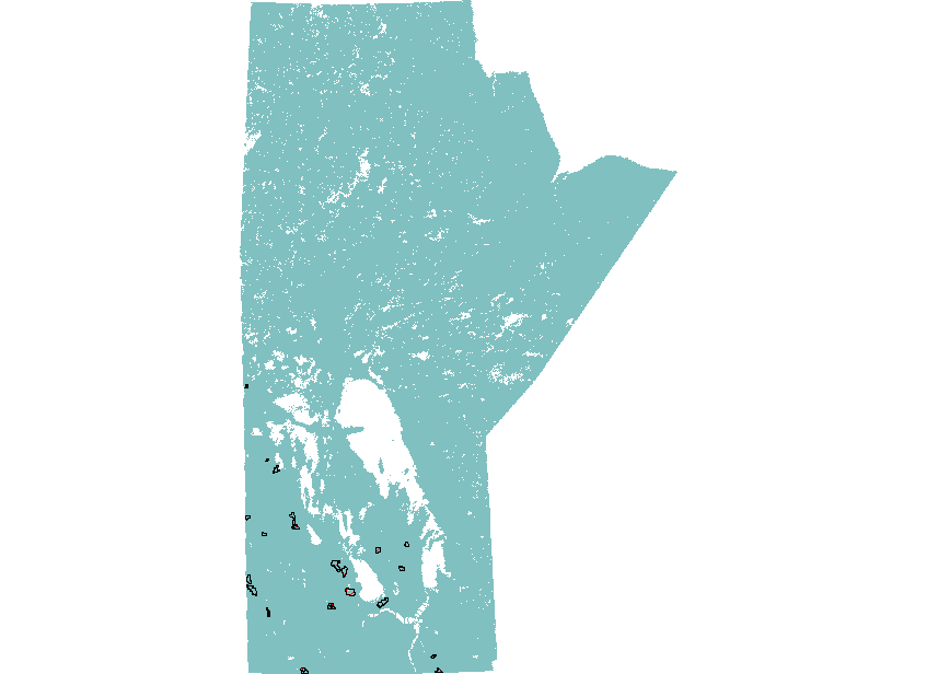
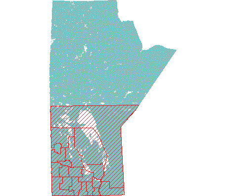
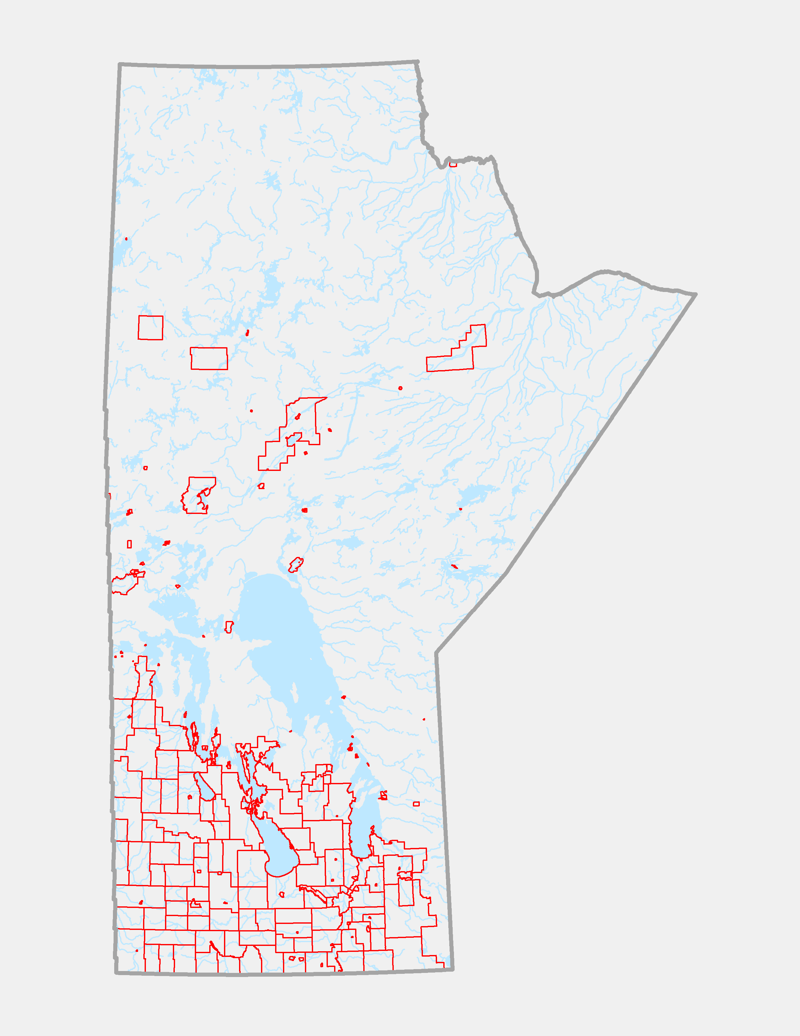
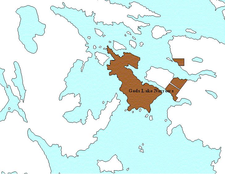
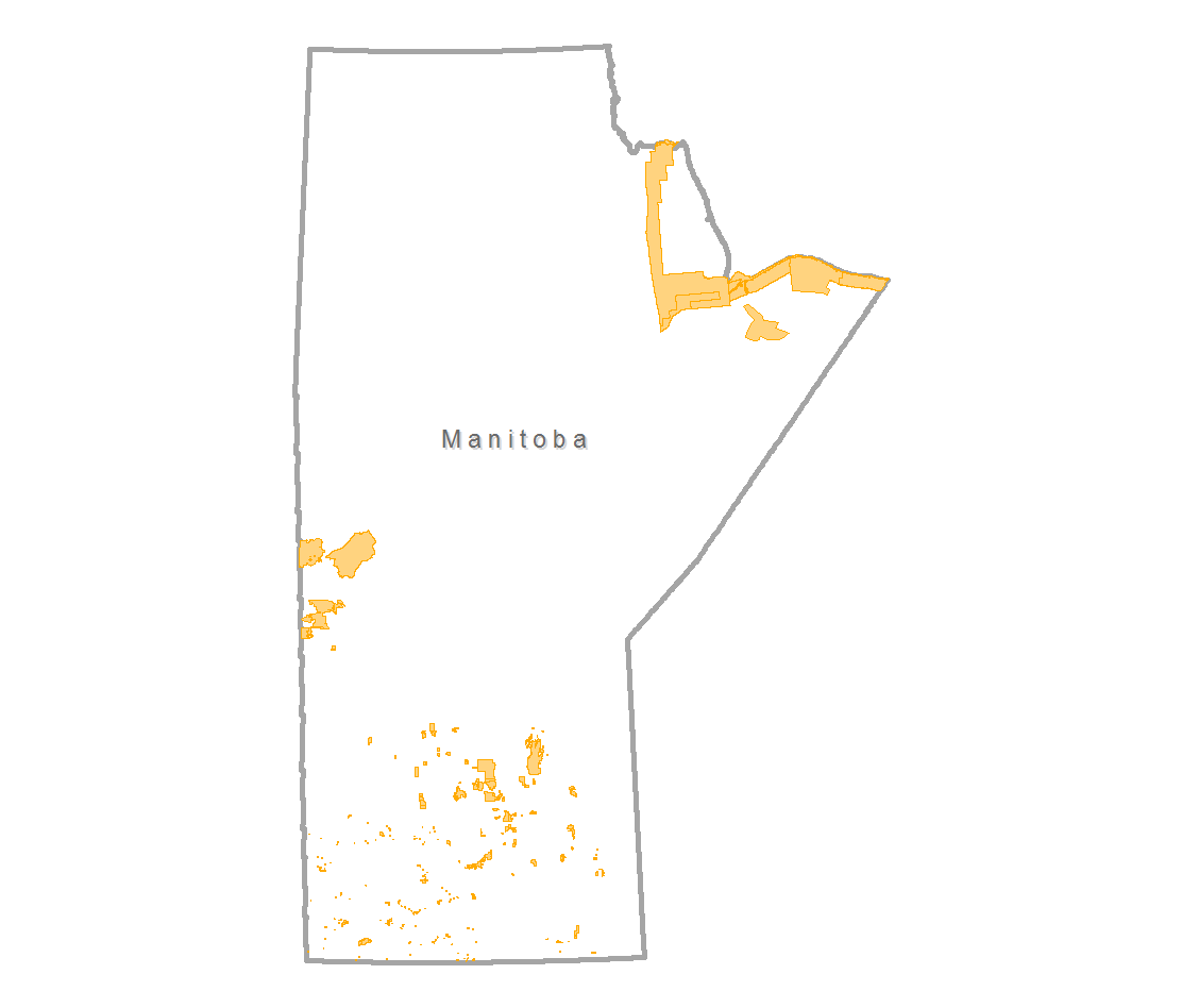
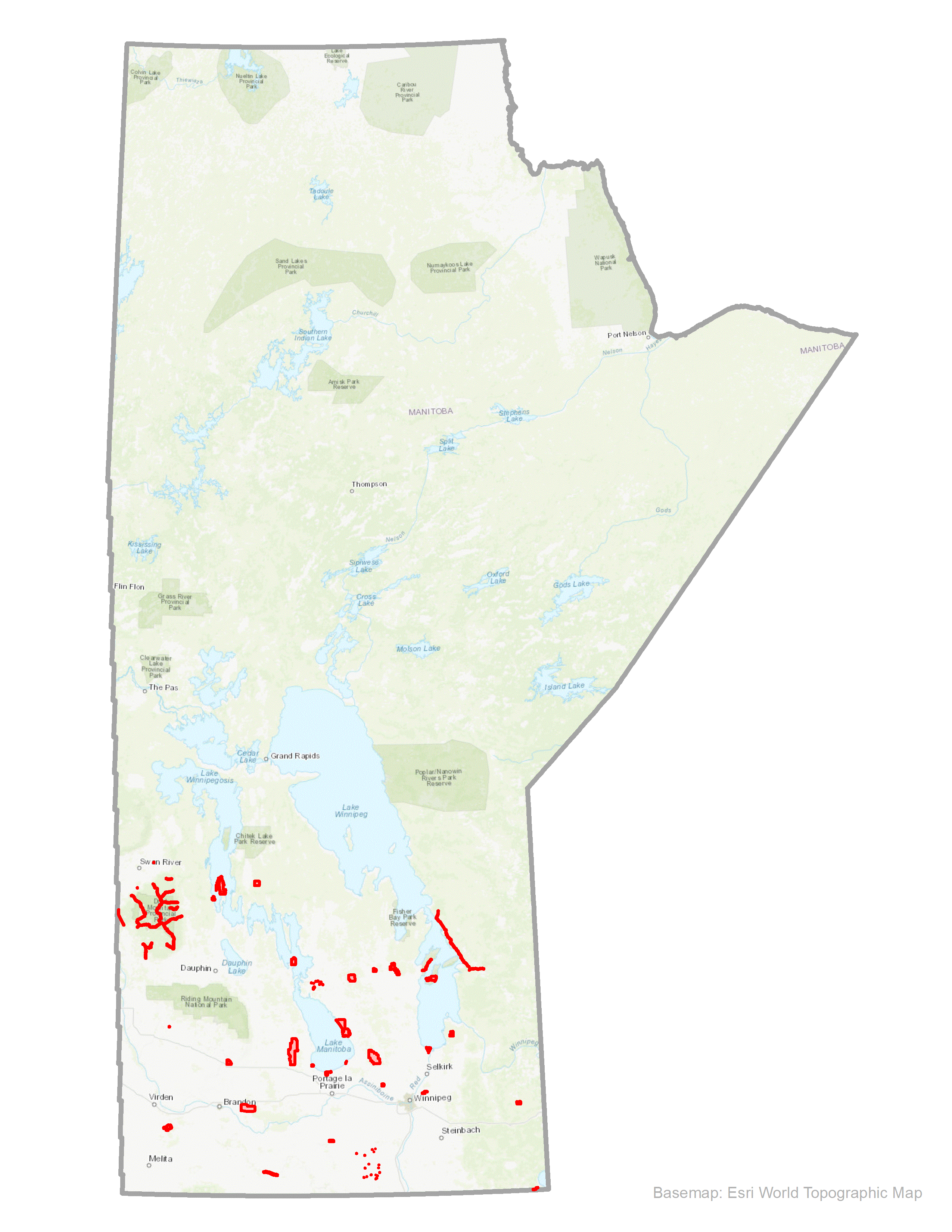
NOTE: In many instances, a specific boundary layer may contain numerous small locations of features widely distributed in various parts of the Province. Therefore, it is not practical to provide a .GIF snapshot overview of some data layers.
All datasets on this page are under review for currency, content and accuracy. Some may not be current. Datasets that have been reviewed and have met the evaluation standards will have a green background. Entries in orange are under construction.
Index:
A B C D E F G H I J K L M N O P Q R S T U V W X Y Z
A B C D E F G H I J K L M N O P Q R S T U V W X Y Z
| Boundary Layer | .KMZ | Version | |||||
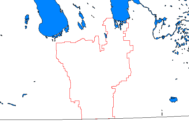
| Agriculture Districts |
|
||||||
| Aquifers (Bedrock) | |||||||
| Aquifers (Sand & Gravel) | |||||||
| Assessment Districts |
|
||||||
| Go to top | |||||||
| Community Pastures | |||||||
| Designated Flood Area...... | .KMZ | ||||||
| Designated Flood Area - Lower Red River | .KMZ | ||||||
| East Side Traditional Lands Planning & Special Protected Areas Act | .KMZ | ||||||
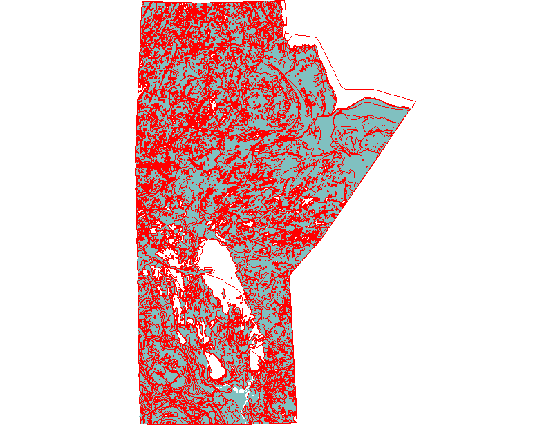
| Ecological Areas | |||||||
| Federal Electoral District Boundaries | |||||||
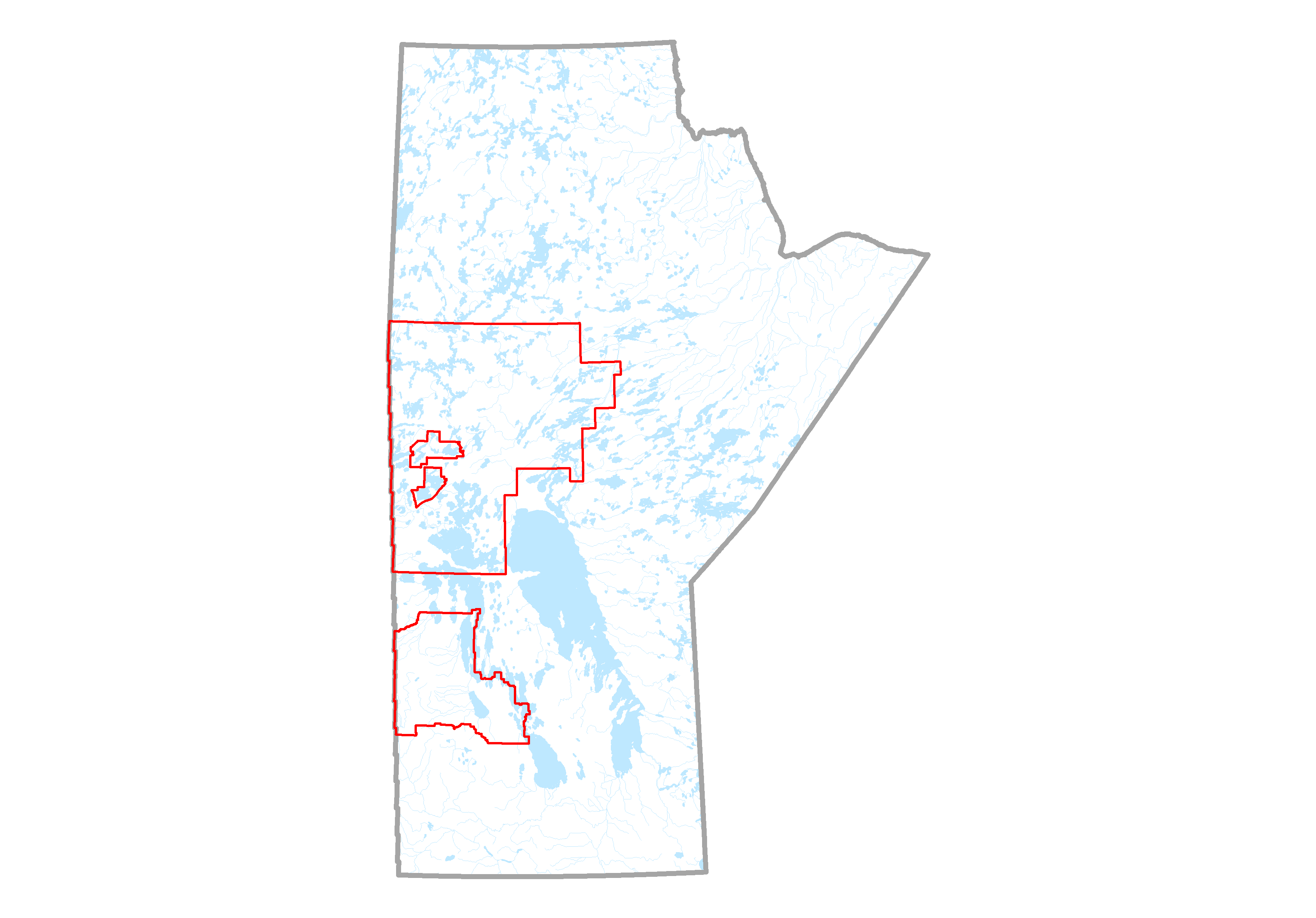
| Forest Management License Agreement Areas | .KMZ | 3.0 | |||||
| Forest Management Units | .KMZ | 4.0 | |||||
| Forest Sections | .KMZ | 4.0 | |||||
| Hunting Areas - Big Game | |||||||
| Land Settlement Agreements Including TLE: | |||||||
| Community Agreements | |
|
.KMZ |
|
| |||
| Community Interest Zones | |
|
.KMZ |
|
| |||
| First Nation Non TLE Agreements | |
|
.KMZ |
|
| |||
| First Nation Permit Fee Simple Lands | |
|
.KMZ |
|
| |||
| Treaty Land Entitlement Acquisitions | |
|
.KMZ |
|
| |||
| Treaty Land Entitlement Sites | |
|
.KMZ |
|
| |||
| NTS Mapsheet 20K & 50K | .KMZ | ||||||
| WRS Grid - LandSat 7 | |||||||
| Ortho Photo Grid - 1K tiles Wpg-Selkirk * | |||||||
| Ortho Photo Grid - 3K tiles | .KMZ | ||||||
| Ortho Photo Grid - 5K tiles | .KMZ | ||||||
| Ortho Photo Refresh Grid - 5K tiles (2007+) | |||||||
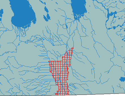
| Manitoba Crop Insurance ARA | |||||||
| Manitoba Crop Insurance Agency Boundaries | |||||||
| Manitoba Crop Insurance Risk Areas | |||||||
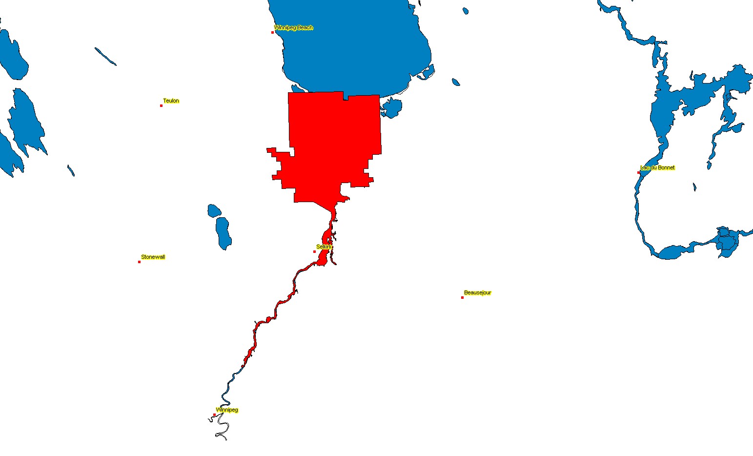
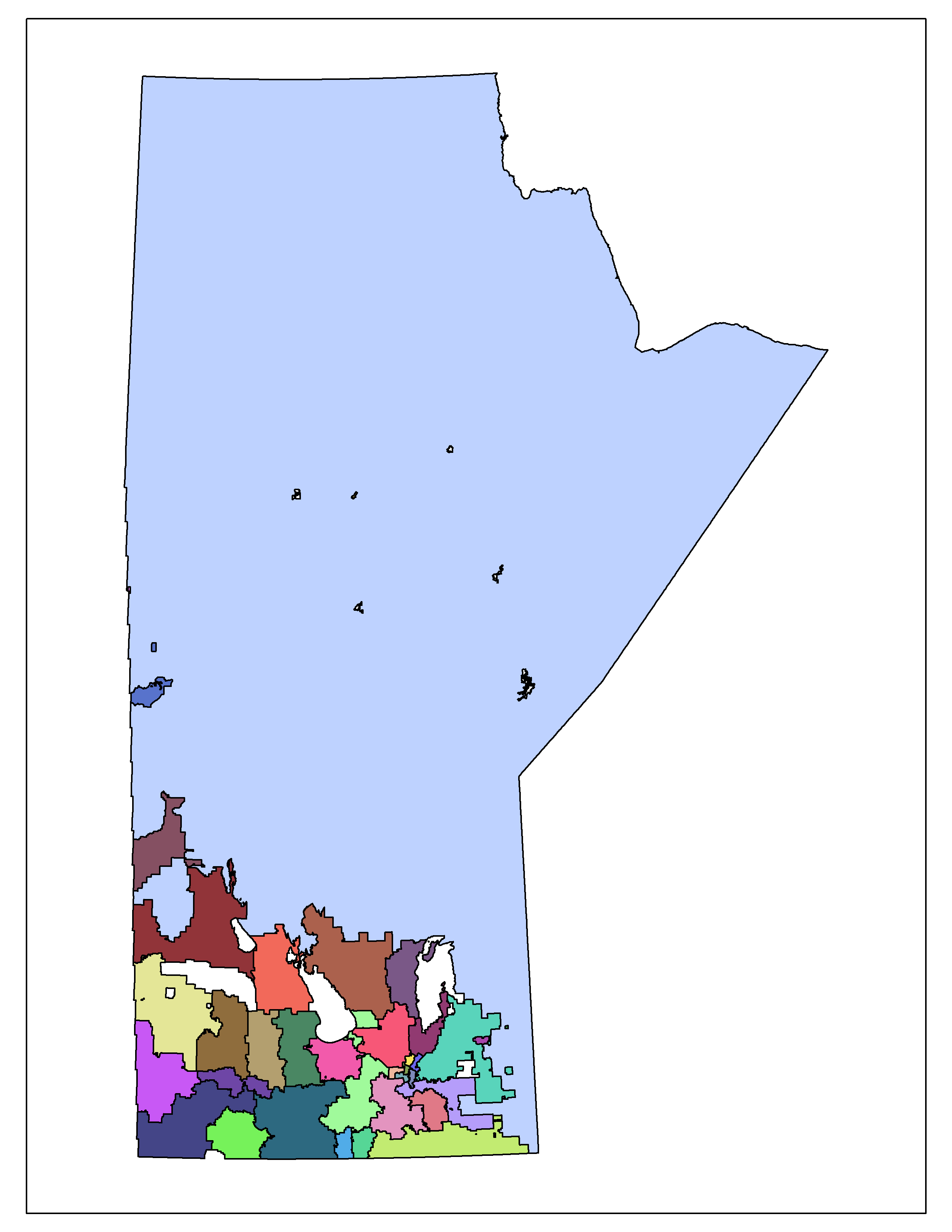
| Municipalities/Local Govt. Districts | .KMZ | ||||||
| Natural Ecological Regions | |||||||
| Natural Ecological Zones | |||||||
| Natural Regions | |||||||
| Northern Affairs Communities | |||||||
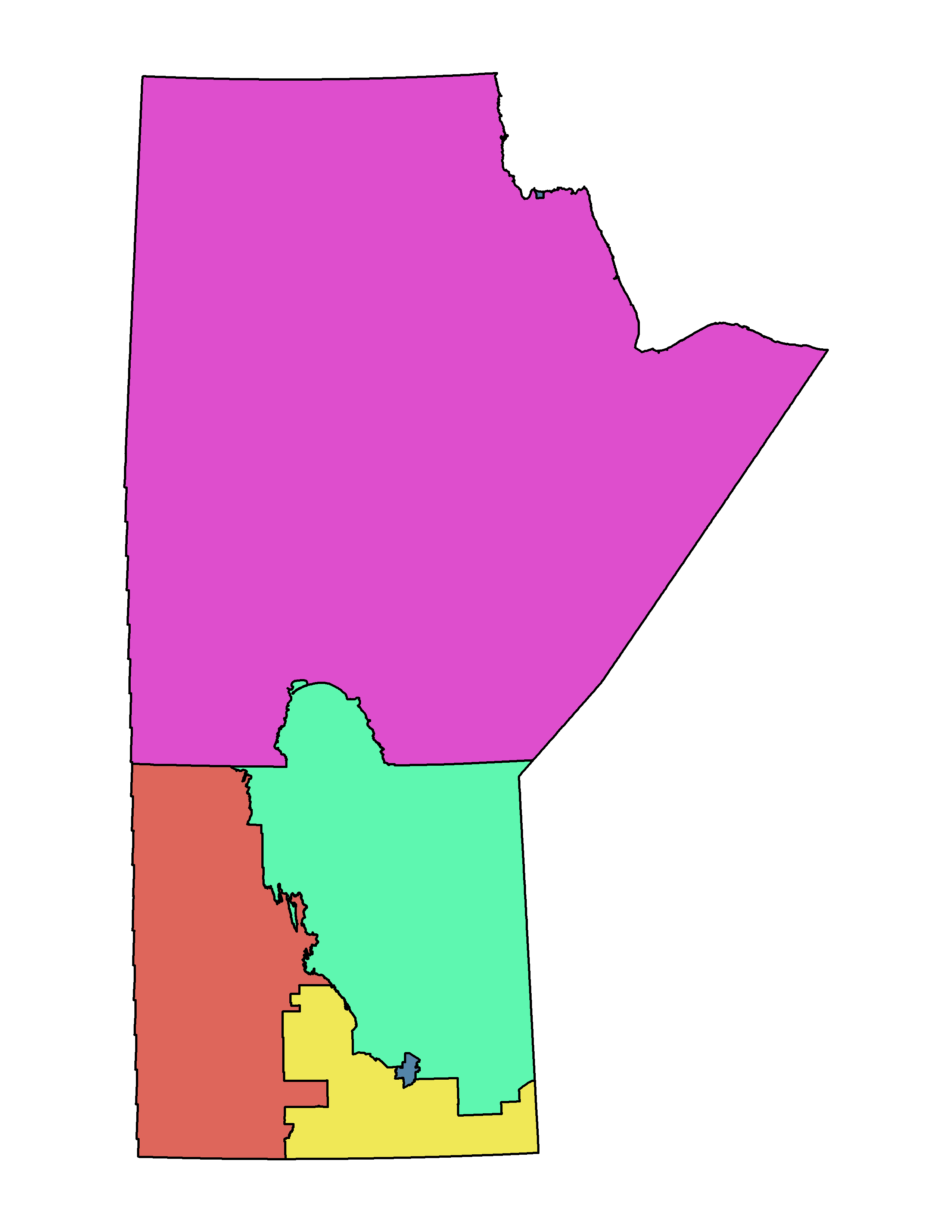
| Northern Affairs Regions |
|
||||||
| Go to top | |||||||
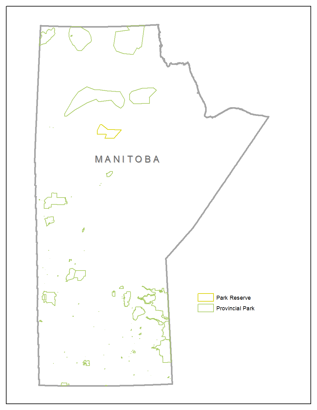
| Parks and Park Reserves, Provincial - Outlines | .KMZ | ||||||
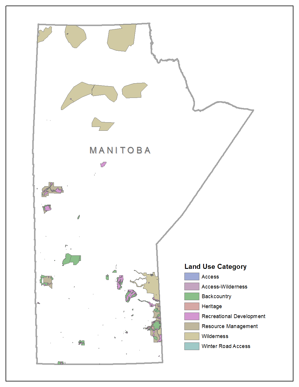
| Parks, Provincial - Land Use | .KMZ | ||||||
| Parks, Prov - Information Package | |||||||
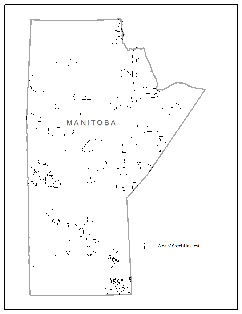
| Areas of Special Interest | .KMZ | ||||||
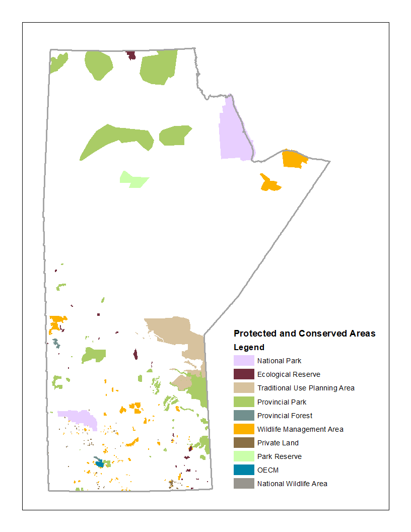
| Protected Areas | .KMZ | ||||||
| Planning Districts - Intergovernmental Affairs |
|
||||||
| Postal Codes (Basic-Prefix) | |||||||
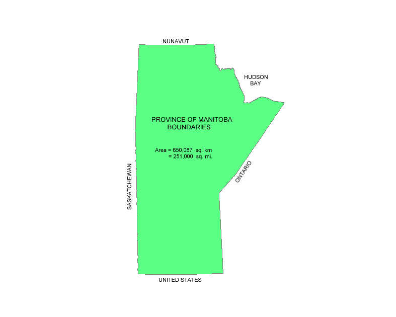
| Provincial Boundary | .KMZ | ||||||
| Provincial Electoral District Boundaries Elections Manitoba - Boundaries |
|
||||||
| Public Shooting Grounds | |||||||
| Red River Valley Special Management Area | .KMZ | ||||||
| RHA Manitoba Boundaries | .KMZ | ||||||
| Go to top | |||||||
| School Divisions | .KMZ | ||||||
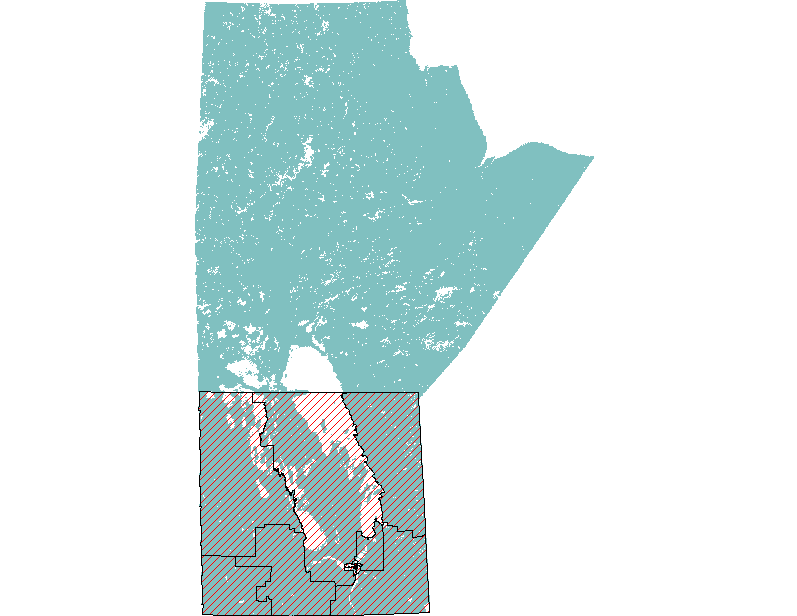
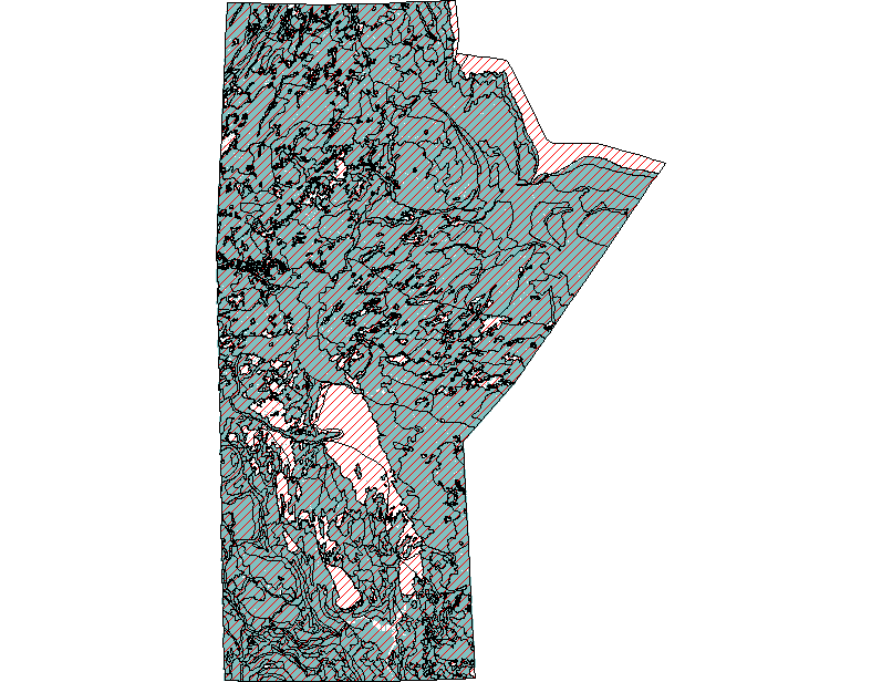
| Soil Inventory - 1:1,000,000 | |||||||
| Soil - Land Cover and Surficial Geology | |||||||
| Special Conservation Areas | |||||||
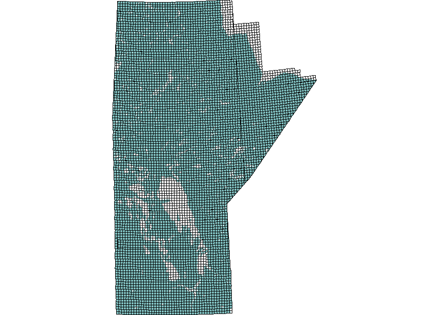
| Township Grid - (twp 001-127) | .KMZ | ||||||
| Treaty Boundaries |
|
||||||
| Tribal Councils | Link | ||||||
| Water Power License Area | .KMZ | ||||||
| Water Power Reserves |
|
.KMZ | |||||
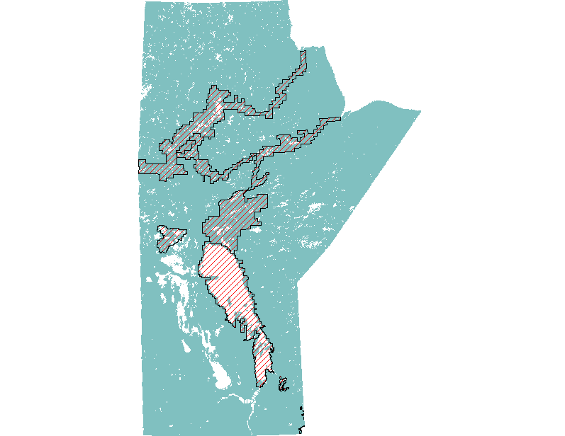
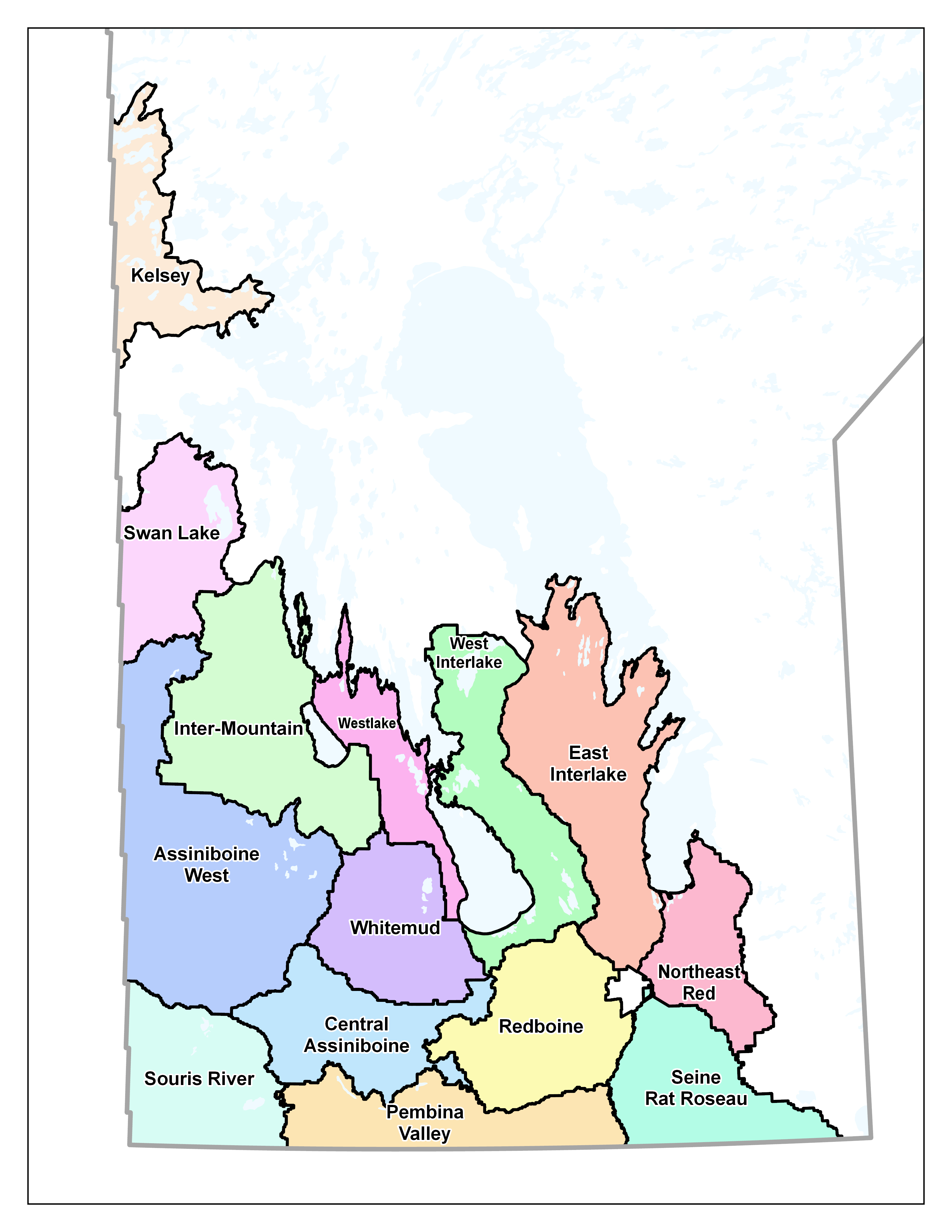
| Watershed Districts | |||||||
| Watershed Management Plan (Integrated) |
|
.DXF | |||||
| Wildlife Management Areas | .KMZ | ||||||
| Wildlife Refuges | |||||||
| Winnipeg Health Region - Community Areas | |||||||
| Winnipeg Health Region - Neighbourhood Clusters |