Land Initiative
Get Started
- About
- Admin. Boundaries
- Base Maps
- Cadastral
- Digital Elevation Models
- Digital Imagery
- Environment
- Forest Inventory
- Geographical Names
- Geology Mapping
- Hydrography
- Land Use/Cover Maps
- Municipal Maps
- Quarter Section Grids
- Soil Classification
- Spatial Referencing
- Topographic Maps
- Town & Village Plans
- Transportation
- Comments
Related Sites
Canada Map Sales

Stay Connected
to the Manitoba Government
To view PDF files, you must have a copy of the Adobe Acrobat Reader which is available as a free download:
![]()
Manitoba Land Initiative
Core Maps - Data Warehouse
Environment
NOTE: The .DXF or .SHP download option provides a zipped package containing the various data layers for the whole Province including, documentation files and a meta data file. The .IMAGE overview contains a sub-set sample of the overall map.
| Dataset | |||||
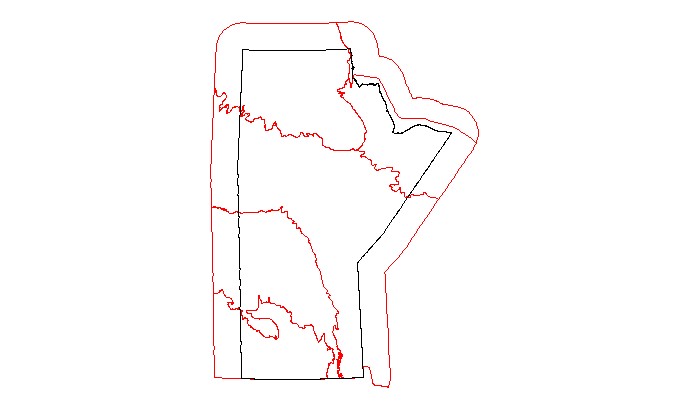
| Ecological Areas | |||||
| Ecological Areas (all) | |||||
| Eco_districts | |||||
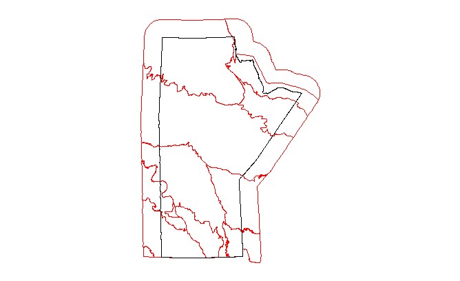
| Eco_provinces | |||||
| Eco_regions | |||||
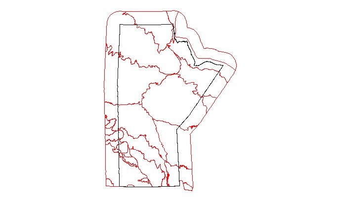
| Eco_zones | |||||
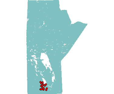
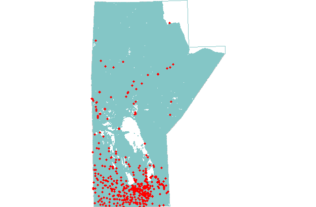
| Solid Waste Sites: South-Central Region | |||||
| Wastewater Treatment Facilities |